Tracks and waypoints were made on a Cruise West cruise in the Gulf of Calafornia
"Recorded Anchor" is correct for anchor near Mulege beach with WorldMap
map
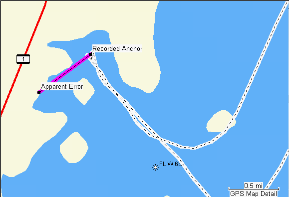
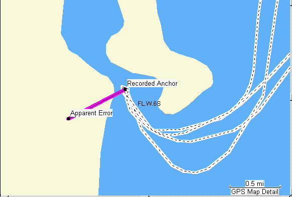
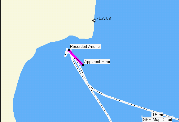
BlueChart "Recorded Anchor" was actually in the half-moon bay -not
the main gulf
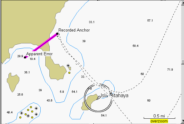
And the ship actually went SOUTH of Isla Pitahaya
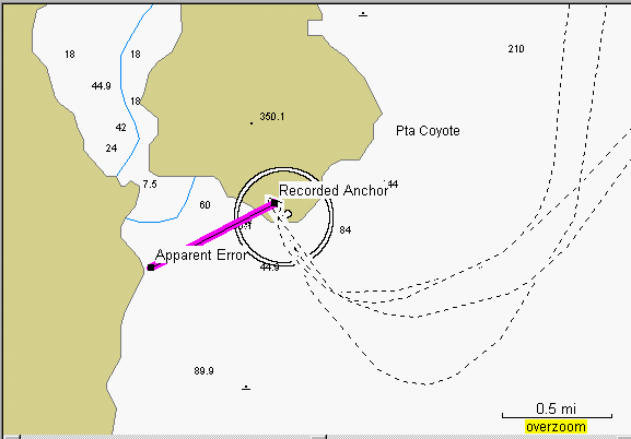
"Recorded Anchor" in correct position near kidney-shaped island with
WorldMap map
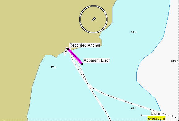
"Apparent Error" is the true location of "Recorded Anchor" with BlueChart
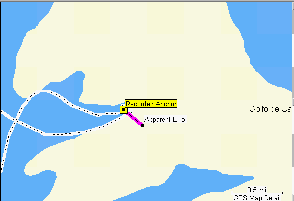
"Recorded Anchor" at Puerto Escondido appears correct with WorldMap
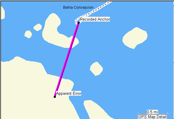
"Recorded Anchor" is on penusula instead of mainland shore with BlueChart
.
"Recorded Anchor" is in the correct location in bay of Ilsa Del Espiritu
Santo with WorldMap map
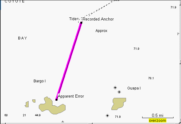
"Recorded Anchor" is on dry land with BlueChart
"Recorded Anchor" at Ilsa Del Espritu beach appears correct with
WorldMap
"Recorded Anchor" is on dry land with BlueChart